Welcome to GeoNexa: Your Land Surveying Experts
At GeoNexa LLC, we are transforming the land surveying experience with our consumer-focused services. Our team combines over a decade of expertise with advanced technology to provide you with precise and reliable survey data.
Your Trusted Partner in Land Surveying
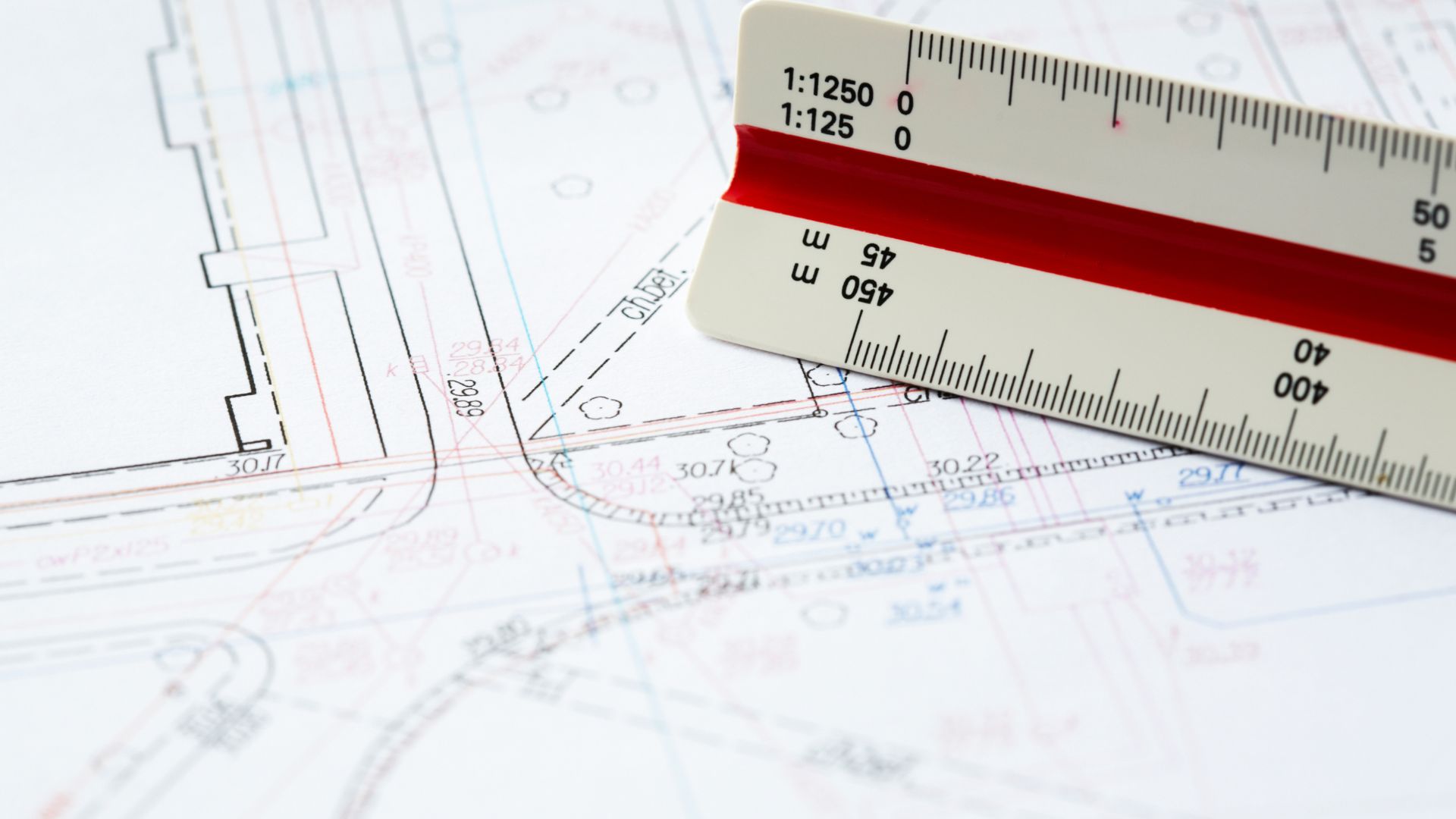
At GeoNexa LLC, we pride ourselves on our expertise and accuracy in land surveying. Our commitment to using cutting-edge technology ensures you receive the most reliable data.
Expertise & Accuracy
Over a decade of experience delivering precise and reliable land surveying services.
Historical Insight
We uncover the stories behind land boundaries, adding value to your property.

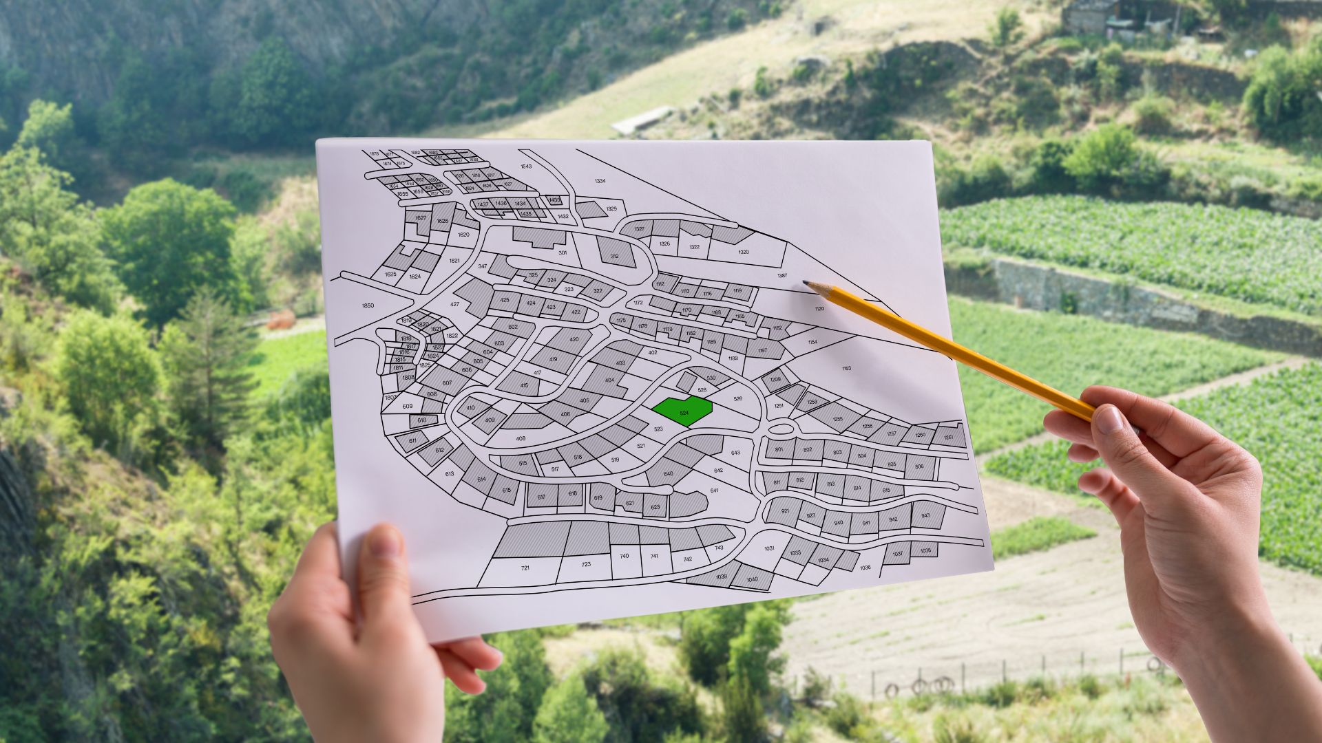
Comprehensive Surveying Solutions Tailored for Homeowners and Property Buyers
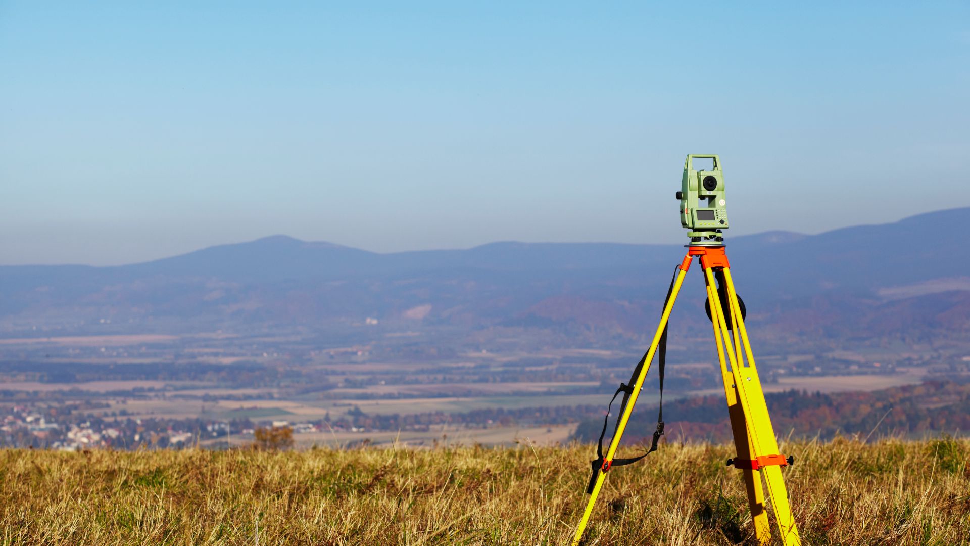
Precision Mapping and Surveying Services for Every Landowner's Needs
GeoNexa LLC offers a range of surveying services to meet diverse needs.
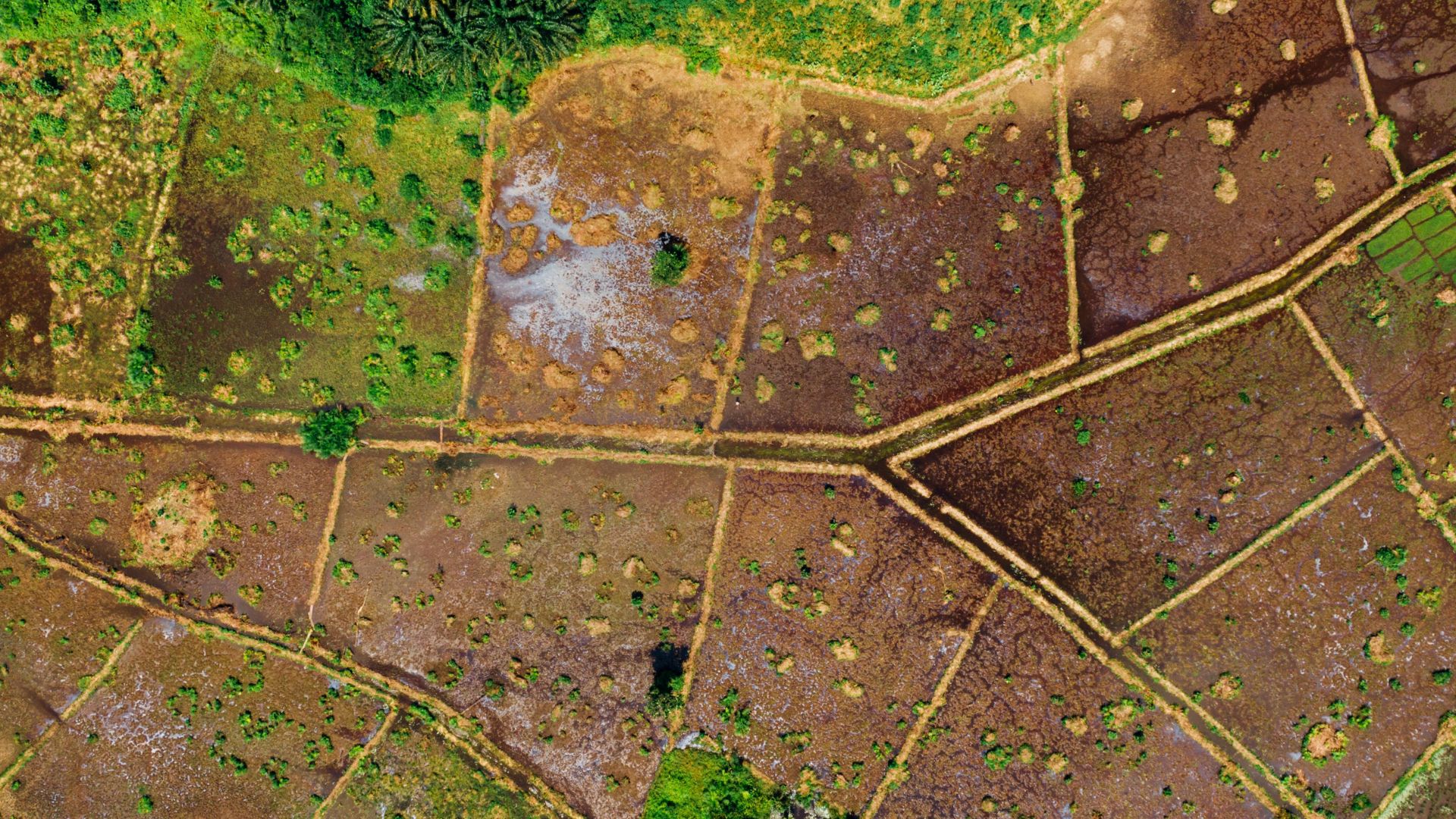
Advanced Mapping & Geospatial Solutions for Accurate Land Analysis
Utilizing cutting-edge technology like GIS and LiDAR for superior mapping accuracy.

Construction & Elevation Services to Ensure Project Success
We provide essential surveying services for construction projects and elevation assessments.
Discover the Advantages of Choosing GeoNexa for Your Surveying Needs
At GeoNexa LLC, we deliver precise results backed by over a decade of expertise. Our consumer-focused services leverage advanced technology to ensure every homeowner and landowner receives the insights they need.
Get Expert Surveying Services Today
Contact GeoNexa LLC for accurate and reliable mapping solutions tailored to your needs.

"GeoNexa LLC provided exceptional service and accuracy in my property survey. Their attention to detail and customer care truly set them apart!"
FAQs
Here are answers to some common questions about our surveying services.
A survey is a precise measurement of land boundaries and features. It provides essential data for property ownership and development. Surveys are crucial for legal documentation and resolving disputes.
The duration of a survey depends on its complexity and size. Typically, a standard boundary survey can be completed within a few days. More extensive projects may take longer, but we keep you informed throughout the process.
If you're buying or selling property, a survey is highly recommended. It clarifies property boundaries and identifies any potential issues. Additionally, it can be essential for construction projects.
We offer various surveys, including boundary, ALTA/NSPS, and topographic surveys. Each type serves different purposes, from legal documentation to construction planning. Our team will guide you in selecting the right survey for your needs.
Yes, we pride ourselves on accuracy and precision. Our team utilizes cutting-edge technology and has over a decade of experience. You can trust us to deliver reliable survey data.
We serve Greer, SC, and surrounding areas, including Greenville and Spartanburg. Our goal is to provide accessible surveying services to local homeowners and landowners. If you're unsure, just ask!
You can reach us via email or phone. We are available Monday to Saturday from 7 AM to 7 PM. Don't hesitate to get in touch with any questions!
LiDAR stands for Light Detection and Ranging. It is a remote sensing technology used to make high-resolution maps. This technology allows us to capture detailed topographic data efficiently.
Yes, we provide free estimates for our surveying services. Simply contact us with your project details, and we'll get back to you promptly. Our goal is to ensure transparency and clarity.
We're here to help! If you have additional questions, feel free to reach out. Our team is dedicated to providing the information you need.
Still have questions?
Contact us for more information or assistance.