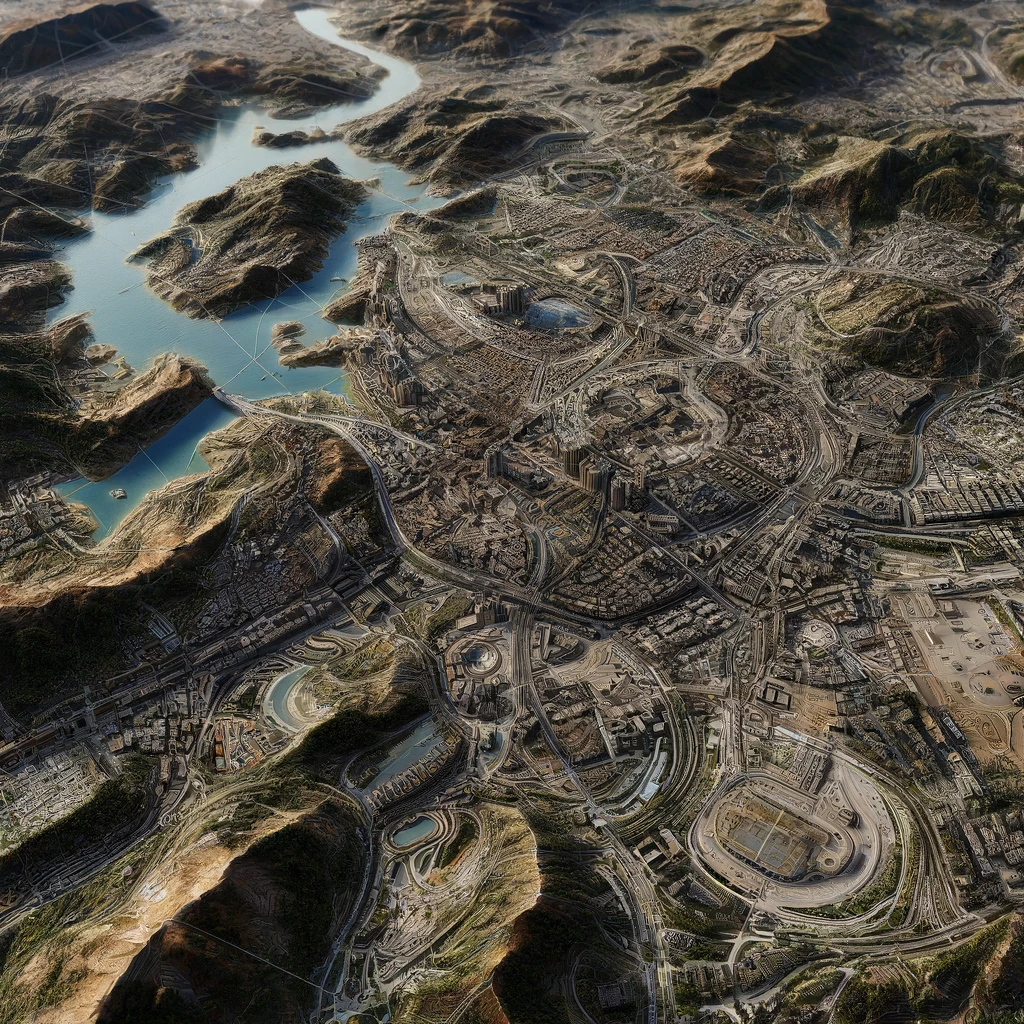
Photogrammetry

Photogrammetry involves taking aerial photographs using drones or other aerial systems to create detailed maps and 3D models of the surveyed area. This method provides high-resolution imaging and accurate geographical data.
